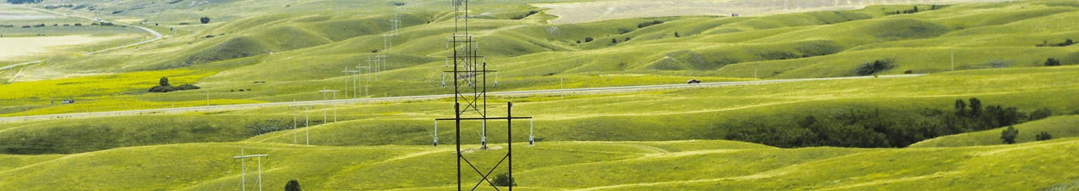
Regina Area Southeast Reinforcement
We’ll be connecting new power lines to the Rowatt Switching Station south of Regina. The station will become a transmission hub and will support future growth as we prepare to add more power to the grid. It’ll connect to the Southwest Power Pool in the United States (up to 500 MW) and the 100 MW Iyuhána Solar Energy Facility near Estevan.
Our Progress So Far
We held site offices in Regina, Glenavon, and Francis from March 24-28, 2025 and invited landowners and stakeholders within the project area to visit us and share questions and feedback about the preferred routes. Thanks to everyone who attended and contributed feedback online as well.
Check out our Newsfeed below for a summary of the feedback.
Project Details
The overall project consists of 3 new power lines that’ll improve grid capacity and reliability:
- A new 130-kilometre (km) power line running east from the Rowatt Switching Station to the Peebles Switching Station near Kipling (the orange route running east on the map below)
- A new 12-km power line running north from the Rowatt Switching Station to the Fleet Street Switching Station in east Regina (the green route running north on the map below)
- A new 24-km power line running west from Rowatt Switching Station. It’ll connect to an existing power line that runs from the Poplar River Power Station near Coronach to the Condie Switching Station northwest of Regina. (the blue route running west on the map below)

Through this project, we’re making a $205 million investment in our power system. We’re expecting the power lines to be complete by June 2027.
We Want Your Feedback — Use Our Map Tool
During this project, we’re working with First Nations and Métis communities, local municipalities and landowners to collect feedback. We’ve used this feedback to develop and refine the best overall routes for the new power lines.
Using our map tool, drop a pin on the map and let us know your feedback and insights on the preferred line routes and areas that are important to you.
You can also provide more detailed feedback on the preferred line routes in the feedback form below.


Project Area Maps
-
 RM of Bratt’s Lake Segment of Preferred Line Route (1.71 MB) (pdf)
-
RM of Chester Segment of Preferred Line Route Map (2.4 MB) (pdf)
-
RM of Edenwold Segment of Preferred Line Route Map (1.83 MB) (pdf)
-
RM of Francis Segment of Preferred Line Route Map (2.45 MB) (pdf)
-
RM of Lajord Lake Segment of Preferred Line Route Map (2.24 MB) (pdf)
-
RM of Montmarte Lake Segment of Preferred Line Route Map (2.62 MB) (pdf)
-
RM of Sherwood Segment of Preferred Line Route Map (2.02 MB) (pdf)